Real Estate in Harrison, Arkansas & Surrounding Areas
870-704-7700
Real Estate in Harrison, Arkansas & Surrounding Areas
870-704-7700
MORE PHOTOS
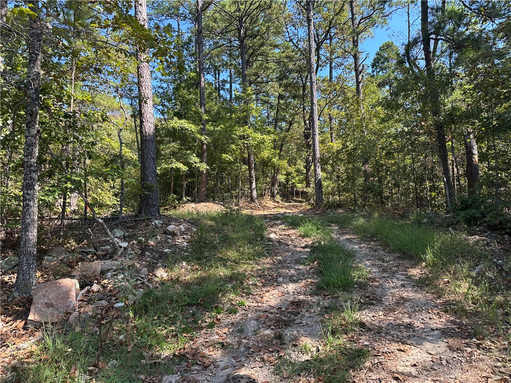
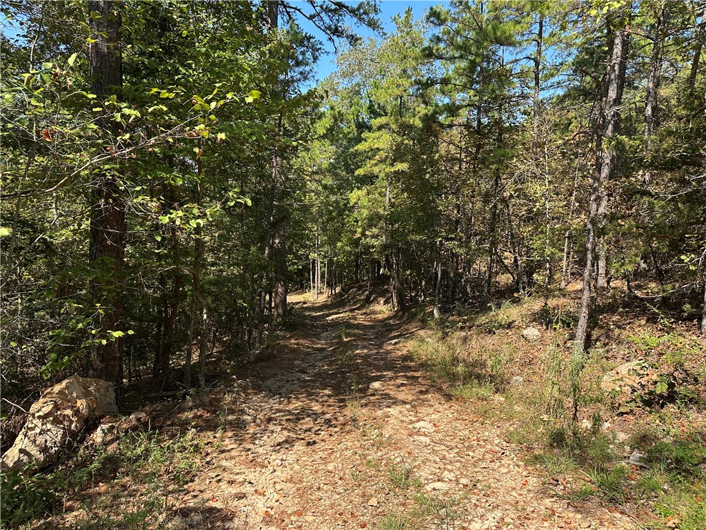
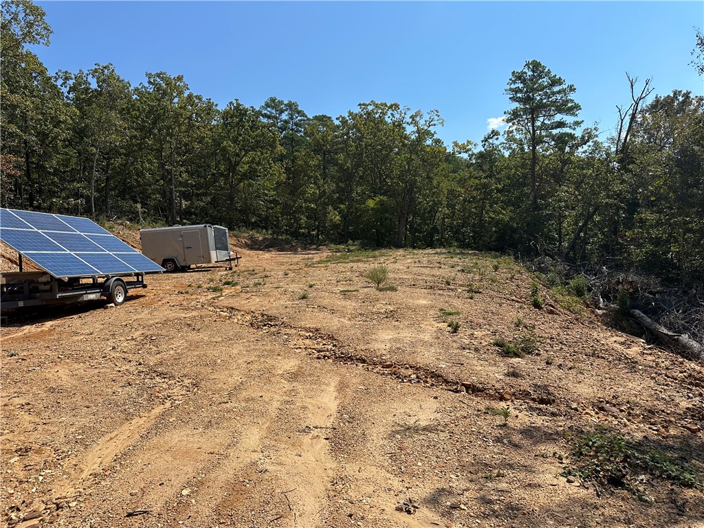
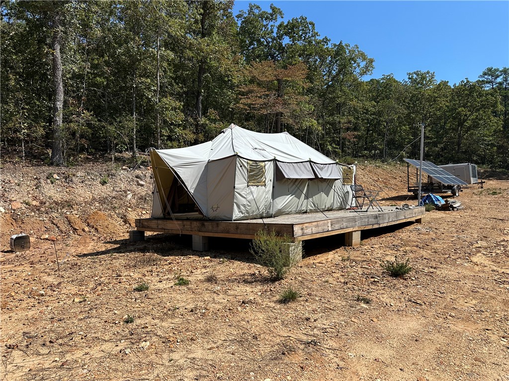
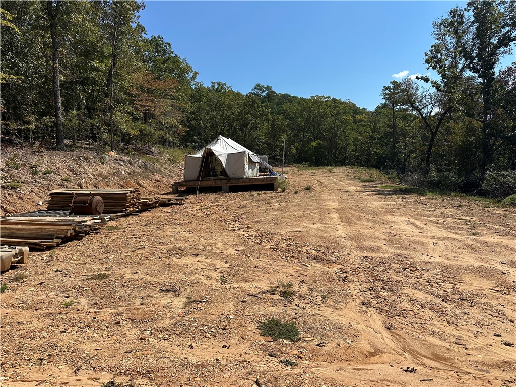
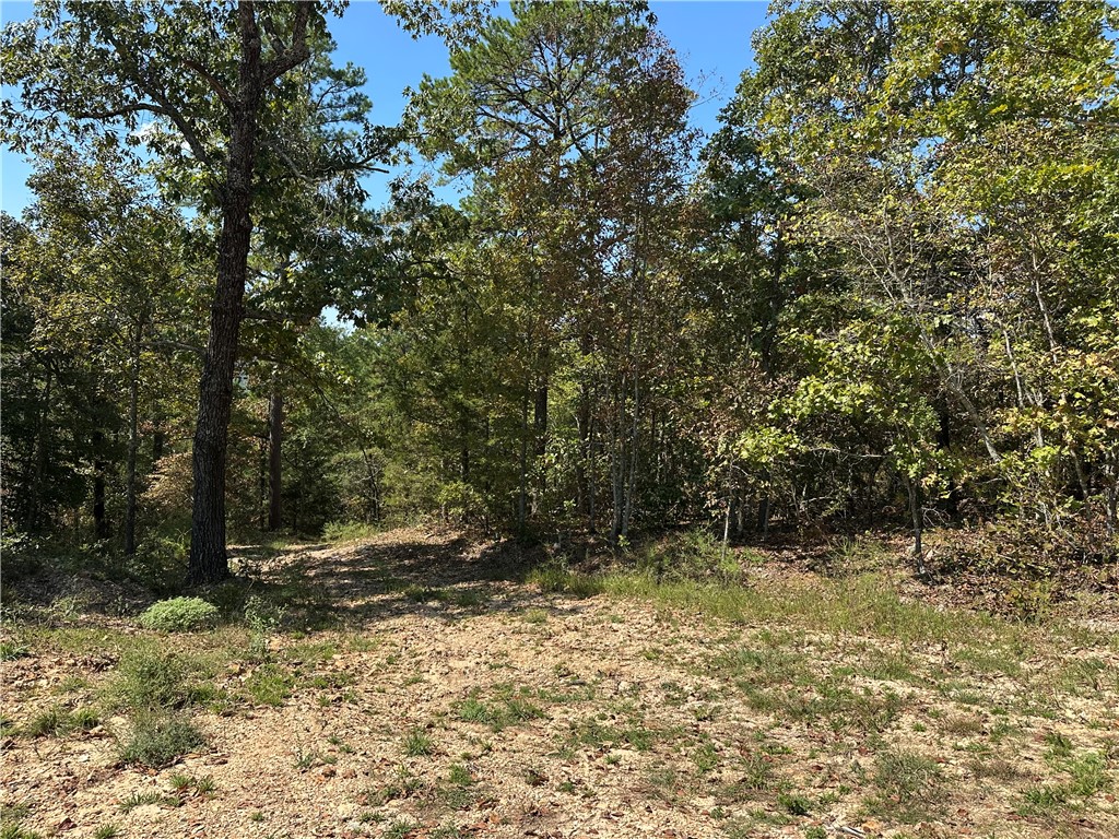
Seclusion, View, Joins National Park, short distance to the Buffalo River, cleared area ready for the cabin, south facing for solar. This property has what so many people are looking for, large hardwood and pine timber, excellent hunting and fishing, hundreds of acres to explore on the National Park adjoining your property.
Hwy 65 S past Western Grove, right on Mt Hershey Road, go 3.8 miles to left ay Y(follow signs to Cane Branch Cabin), go 2.9 miles and turn right on Pea Ridge Road, go .6 miles and turn right and go .4 to the property. Sign on tree where property approx starts. (Approx 8 miles of gravel road road from the highway)
Tax Legal Description:N1/2 N1/2 NE NE 36-16-19 of Newton County, AR
This listing information courtesy of Harp & Associates Real Estate.
This information is deemed to be reliable, but is not guaranteed.
Prepared by Ozark Haven Realty on October 11, 2026 at 2:52:30 PM.