Real Estate in Harrison, Arkansas & Surrounding Areas
870-704-7700
Real Estate in Harrison, Arkansas & Surrounding Areas
870-704-7700
MORE PHOTOS
MORE PHOTOS
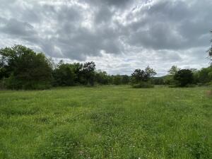
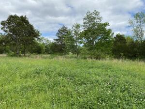
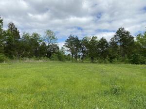
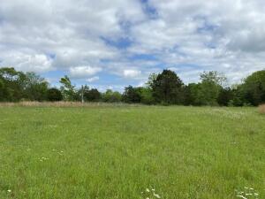
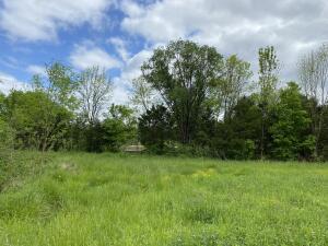
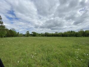
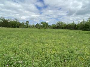
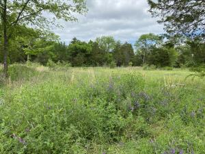
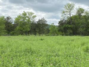
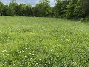
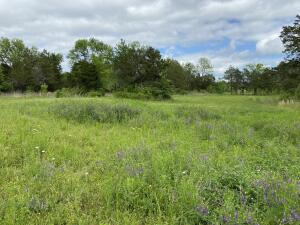
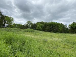
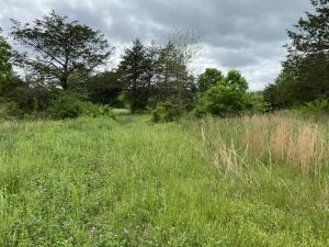
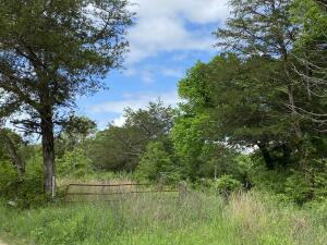
Nice laying mostly open ground in St. Joe. Great location for a home or possible development within minutes of several landings on the Buffalo National River and many venues for hiking, fishing, hunting, camping and canoeing. Small seasonal stream alongside property. Within 1 1/2 hours of the White River, Bull Shoals, Norfork, Table Rock & Greers Ferry Lakes & Branson, Mo.
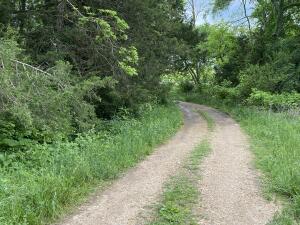
In St Joe turn onto Hwy 374 W and go approx. 2000 ft. to easement driveway on R to pipe gate on right
Tax Legal Description:Pt NW SE S-T-R 17-16N-17N Searcy County AR
This listing information courtesy of Re/Max Unlimited, Inc..
This information is deemed to be reliable, but is not guaranteed.
Prepared by Ozark Haven Realty on April 27, 2026 at 8:30:34 AM.